 ERIE, Pa. (EYT) The snow isn’t over in Erie, yet.
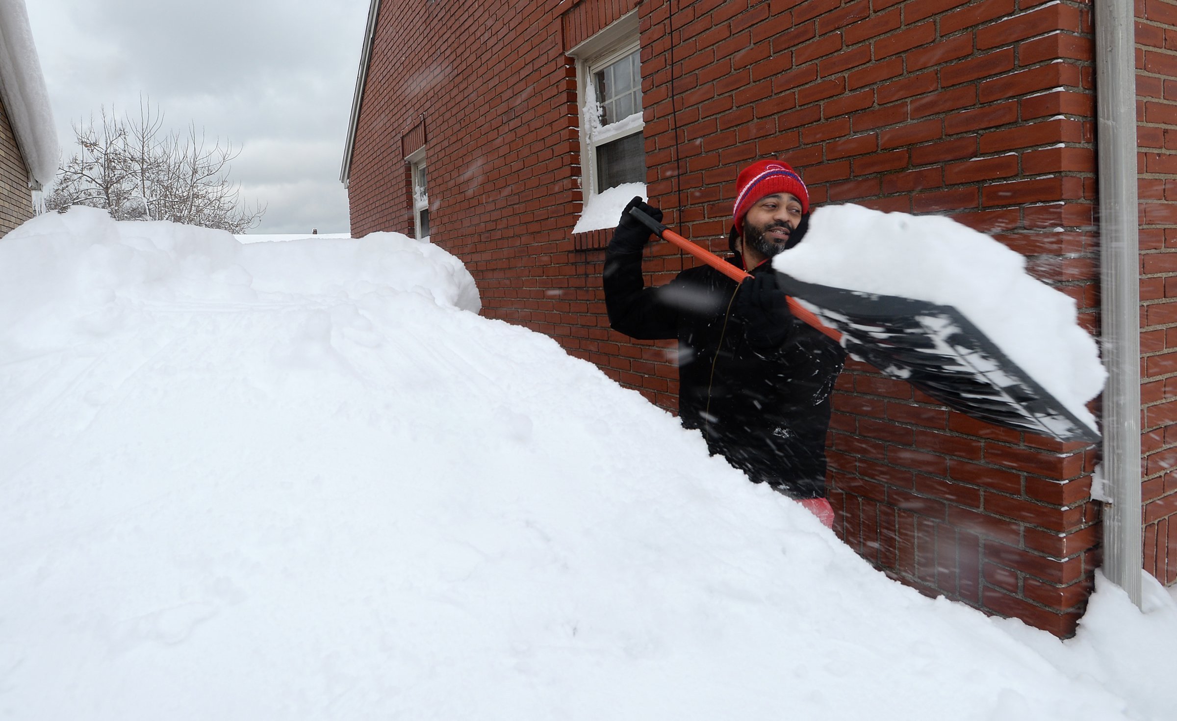
[Pictured above: Erie, Pa. resident Patrick Harden, 42, clears snow from the roof of his car, left, near West Eighth Street in Erie on Dec. 26, 2017 after a record two-day snowfall dumped at least 55 inches on the city. (AP Photo/Erie Times-News, Greg Wohlford)]
After a record-breaking 60.5 inches fell on the city between Sunday night and Tuesday night, the region is under a heavy lake effect snow warning this weekend, according to the National Weather Service.
NWS is alerting drivers that travel will be very difficult to impossible across Erie County.
On Friday, the Erie area saw around nine inches of new snow. Saturday into Saturday night should see additional amounts of three to seven inches.
The Lake-Effect Snow Warning is in effect until 4:00 a.m. on Sunday.
Bitter air will settle into the region by Saturday night with wind chills dipping below zero.
A Lake Effect Snow Warning means significant amounts of lake effect snow are forecast that will make travel very hazardous or impossible.
If you must travel, keep an extra flashlight, food, and water in your vehicle in case of an emergency.
The latest road conditions can be obtained from the state Department of Transportation website.
Lake-effect snow is also forecast for northwestern Pa.
Copyright © 2024 EYT Media Group, Inc. All rights reserved. Any copying, redistribution or retransmission of the contents of this service without the express written consent of EYT Media Group, Inc. is expressly prohibited.


