 JEFFERSON CO., Pa. (EYT) – A Winter Weather Advisory has been issued for Jefferson County and surrounding areas.
UPDATED 10:54 a.m.
The National Weather Service of Pittsburgh issued the following Urgent Winter Weather Message at 10:54 a.m. on Monday, January 25, 2021:
URGENT – WINTER WEATHER MESSAGE
National Weather Service Pittsburgh PA
1054 AM EST Mon Jan 25 2021
COUNTIES:
Carroll-Columbiana-Mercer-Venango-Forest-Lawrence-Butler-Clarion-Jefferson PA-Beaver-Armstrong-Indiana-
CITIES:
Including the cities of Carrollton, Malvern, East Liverpool, Salem, Columbiana, Sharon, Hermitage, Grove City, Oil City, Franklin, Tionesta, New Castle, Ellwood City, Butler, Clarion, Punxsutawney, Brookville, Aliquippa, Beaver Falls, Ambridge, Monaca, Kittanning, Ford City, and Indiana
1054 AM EST Mon Jan 25 2021
…WINTER WEATHER ADVISORY REMAINS IN EFFECT FROM 6 PM THIS EVENING TO 10 AM EST TUESDAY…
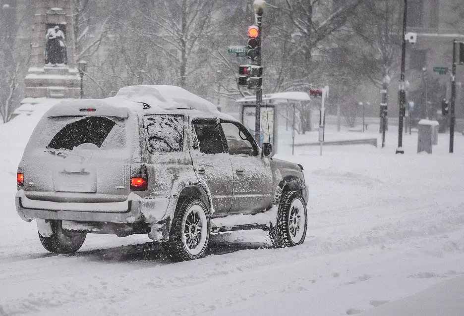
* WHAT…Mixed precipitation expected. Total snow accumulations of up to one inch and ice accumulations of around one-tenth of an inch.
* WHERE…Portions of northwest, southwest and western Pennsylvania and east central Ohio.
* WHEN…From 6 PM this evening to 10 AM EST Tuesday.
* IMPACTS…Plan on slippery road conditions. The hazardous conditions could impact the morning or evening commute.
PRECAUTIONARY/PREPAREDNESS ACTIONS…
Slow down and use caution while traveling.
Please report snow or ice by calling 412-262-1988, posting to the NWS Pittsburgh Facebook page, or using Twitter @NWSPittsburgh
The Pennsylvania Department of Transportation and Pennsylvania Turnpike Commission remind motorists to adjust speeds based on driving conditions as winter weather impacts Pennsylvania roadways. Visit www.511pa.com for the latest travel, roadway and traffic conditions.
Copyright © 2024 EYT Media Group, Inc. All rights reserved. Any copying, redistribution or retransmission of the contents of this service without the express written consent of EYT Media Group, Inc. is expressly prohibited.


