 JEFFERSON CO., Pa. (EYT) – A Winter Storm Warning has been issued for Jefferson County and surrounding areas. Up to 11 inches of snow is possible for the area.
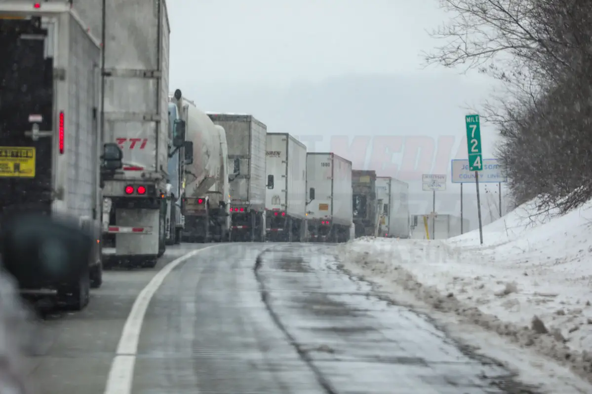
(January 29, 2021, photo by Dave Cyphert of ProPoint Media Photography.)
The National Weather Service of Pittsburgh issued the following Urgent Winter Weather Message at 12:33 p.m. on Saturday, January 15, 2022:
Winter Storm Warning
URGENT – WINTER WEATHER MESSAGE
National Weather Service Pittsburgh PA
1233 PM EST Sat Jan 15 2022
Winter Storm Warning is in effect from 1:00 p.m. on Sunday, January 16, 2022, to 1:00 p.m. on Monday, January 17, 2022.
COUNTIES:
Tuscarawas-Carroll-Columbiana-Coshocton-Harrison-Jefferson OH-Muskingum-Guernsey-Belmont-Noble-Monroe-Mercer-Venango-Forest-Lawrence-Butler-Clarion-Jefferson PA-Beaver-Allegheny-Armstrong-Indiana-Washington-Greene-Westmoreland-Higher Elevations of Westmoreland-Fayette-Higher Elevations of Fayette-Hancock-Brooke-Ohio-Marshall-Wetzel-Marion-Monongalia-Ridges of Eastern Monongalia and Northwestern Preston-Preston-Eastern Preston-Western Tucker-Eastern Tucker
CITIES:
Including the cities of Sharon, Parsons, Canonsburg, Thomas, New Kensington, Punxsutawney, Caldwell, Pittsburgh Metro Area, New Martinsville, Greensburg, Hendricks, Steubenville, Ligonier, Indiana, Butler, Beaver Falls, Aliquippa, Bruceton Mills, Coshocton, Terra Alta, Champion, Hermitage, Coopers Rock, Grove City, Murrysville, Weirton, St. Clairsville, Rowlesburg, Tionesta, Carrollton, Kittanning, Woodsfield, Moundsville, Malvern, Ford City, Morgantown, Ohiopyle, Ambridge, Kingwood, Hazelton, Cadiz, Oil City, Clarion, Uniontown, Latrobe, Ellwood City, Monessen, Columbiana, Canaan Valley, East Liverpool, Davis, Monaca, Wheeling, Wellsburg, Dover, New Castle, Lower Burrell, Cambridge, Saint George, Donegal, Zanesville, New Philadelphia, Washington, Waynesburg, Fairmont, Martins Ferry, Salem, Brookville, Follansbee, and Franklin
333 AM EST Sat Jan 15 2022
…WINTER STORM WARNING IN EFFECT FROM 1 PM SUNDAY TO 1 PM EST MONDAY…
* WHAT…Heavy snow expected. Total snow accumulations between 6 and 11 inches.
* WHERE…Portions of east central Ohio. Portions of northwest, southwest, and western Pennsylvania. Portions of northern and the northern panhandle of West Virginia.
* WHEN…From 1 PM Sunday to 1 PM EST Monday.
* IMPACTS…Roads, and especially bridges and overpasses, will likely become slick and hazardous. Travel could be very difficult. The hazardous conditions could impact the Monday morning commute.
PRECAUTIONARY/PREPAREDNESS ACTIONS…
If you must travel, keep an extra flashlight, food, and water in your vehicle in case of an emergency. The latest road conditions for the state you are calling from can be obtained by calling 5 1 1.
Persons should delay all travel if possible. If travel is absolutely necessary, drive with extreme caution and be prepared for sudden changes in visibility. Leave plenty of room between you and the motorist ahead of you, and allow extra time to reach your destination. Avoid sudden braking or acceleration, and be especially cautious on hills or when making turns. Make sure your car is winterized and in good working order.
Dangerous conditions are expected along Interstate 80 for the next several hours. Remember, `Pull Aside, Stay Alive`.
Copyright © 2024 EYT Media Group, Inc. All rights reserved. Any copying, redistribution or retransmission of the contents of this service without the express written consent of EYT Media Group, Inc. is expressly prohibited.


