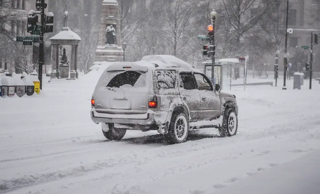
JEFFERSON CO., Pa. (EYT) – A Winter Storm Warning remains in effect for Jefferson County and surrounding areas. Up to four additional inches of snow is possible.
The National Weather Service of Pittsburgh issued the following Urgent Winter Weather Message at 4:14 a.m. on Monday, January 17, 2022:
Winter Storm Warning
URGENT – WINTER WEATHER MESSAGE
National Weather Service Pittsburgh PA
414 AM EST Mon Jan 17 2022
COUNTIES:
Tuscarawas-Carroll-Columbiana-Coshocton-Harrison-Jefferson OH-Muskingum-Guernsey-Belmont-Noble-Monroe-Mercer-Venango-Forest-Lawrence-Butler-Clarion-Jefferson PA-Beaver-Allegheny-Armstrong-Indiana-Washington-Greene-Westmoreland-Higher Elevations of Westmoreland-Fayette-Higher Elevations of Fayette-Hancock-Brooke-Ohio-Marshall-Wetzel-Marion-Monongalia-Ridges of Eastern Monongalia and Northwestern Preston-Preston-Eastern Preston-Western Tucker-Eastern Tucker-
CITIES:
Including the cities of Sharon, Parsons, Canonsburg, Thomas, New Kensington, Punxsutawney, Caldwell, Pittsburgh Metro Area, New Martinsville, Greensburg, Hendricks, Steubenville, Ligonier, Indiana, Butler, Beaver Falls, Aliquippa, Bruceton Mills, Coshocton, Terra Alta, Champion, Hermitage, Coopers Rock, Grove City, Murrysville, Weirton, St. Clairsville, Rowlesburg, Tionesta, Carrollton, Kittanning, Woodsfield, Moundsville, Malvern, Ford City, Morgantown, Ohiopyle, Ambridge, Kingwood, Hazelton, Cadiz, Oil City, Clarion, Uniontown, Latrobe, Ellwood City, Monessen, Columbiana, Canaan Valley, East Liverpool, Davis, Monaca, Wheeling, Wellsburg, Dover, New Castle, Lower Burrell, Cambridge, Saint George, Donegal, Zanesville, New Philadelphia, Washington, Waynesburg, Fairmont, Martins Ferry, Salem, Brookville, Follansbee, and Franklin
414 AM EST Mon Jan 17 2022
…WINTER STORM WARNING REMAINS IN EFFECT UNTIL 1 PM EST THIS AFTERNOON…
* WHAT…Snow. Additional snow accumulations between 2 and 4 inches through 9 AM, highest across western and northwest Pennsylvania. West wind increasing this morning 15 to 20 mph with gusts to 30 mph. Gusts to 45 mph expected across the Laurel Highlands into the mountains of northern West Virginia, leading to areas of blowing snow.
* WHERE…Eastern Ohio, western Pennsylvania and northern West Virginia.
* WHEN…Until 1 PM EST this afternoon.
* IMPACTS…Untreated roads, as well as bridges and overpasses, will remain slick and hazardous. Plan on slippery road conditions. The hazardous conditions will impact the morning commute.
PRECAUTIONARY/PREPAREDNESS ACTIONS…
If you must travel, keep an extra flashlight, food, and water in your vehicle in case of an emergency. The latest road conditions for the state you are calling from can be obtained by calling 5 1 1.
Copyright © 2024 EYT Media Group, Inc. All rights reserved. Any copying, redistribution or retransmission of the contents of this service without the express written consent of EYT Media Group, Inc. is expressly prohibited.


