 JEFFERSON CO., Pa. (EYT) – A Flood Watch continues for Jefferson County and surrounding areas.
The National Weather Service of Pittsburgh issued the following Flood Watch at 9:35 a.m. on Sunday, February 24, 2018:
Flood Watch
National Weather Service Pittsburgh PA
935 AM EST Sat Feb 24 2018
…Heavy rainfall expected through the weekend…
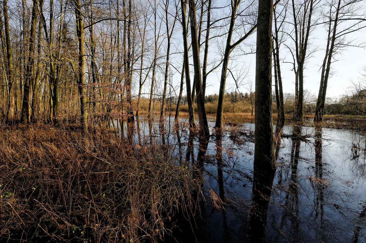
.Many locations received in excess of two inches of rainfall last weekend. The ground has had little time to recover from this amount of rain, and many locations are already saturated. Some locations received between one and two inches of rain again on Thursday, and another two to three inches of rainfall is possible through Sunday afternoon. This means that flooding will continue to be a possibility across the forecast area.
Garrett-Tuscarawas-Carroll-Columbiana-Coshocton-Harrison-Jefferson-Muskingum-Guernsey-Belmont-Noble-Monroe-Mercer-Venango-Forest-Lawrence-Butler-Clarion-Beaver-Allegheny-Armstrong-Indiana-Washington-Greene-Westmoreland-Westmoreland Ridges-Fayette-Fayette Ridges-Hancock-Brooke-Ohio-Marshall-Wetzel-Marion-Monongalia-Ridges of Eastern Monongalia and Northwestern Preston-Preston-Eastern Preston-Western Tucker-Eastern Tucker-
Including the cities of Mountain Lake Park, Oakland MD, Grantsville, New Philadelphia, Dover, Carrollton, Malvern,
East Liverpool, Salem, Columbiana, Coshocton, Cadiz, Steubenville, Zanesville, Cambridge, Martins Ferry, St. Clairsville, Caldwell, Woodsfield, Sharon, Hermitage, Grove City, Oil City, Franklin, Tionesta, New Castle, Ellwood City, Butler, Clarion, Punxsutawney, Brookville, Aliquippa, Beaver Falls, Ambridge, Monaca, Pittsburgh Metro Area, Kittanning, Ford City, Indiana, Washington, Canonsburg, Waynesburg, Murrysville, Greensburg, New Kensington, Ligonier, Donegal, Uniontown, Champion, Ohiopyle, Weirton, Follansbee, Wellsburg, Wheeling, Moundsville, New Martinsville, Fairmont, Morgantown, Coopers Rock, Kingwood, Bruceton Mills, Terra Alta, Rowlesburg, Hazelton, Parsons, Hendricks, Saint George, Davis, Thomas, and Canaan Valley
…FLOOD WATCH REMAINS IN EFFECT THROUGH SUNDAY EVENING…
The Flood Watch continues for
* Portions of western Maryland, east-central Ohio, western Pennsylvania, and northern West Virginia.
* Through Sunday evening
* New rainfall amounts between 1.5 and 3.0 inches will be possible through the weekend.
* The ground is very saturated and water levels in local streams remain high.
PRECAUTIONARY/PREPAREDNESS ACTIONS…
A Flood Watch means there is a potential for flooding based on current forecasts.
You should monitor later forecasts and be alert for possible Flood Warnings. Those living in areas prone to flooding should be
prepared to take action should flooding develop.
Copyright © 2024 EYT Media Group, Inc. All rights reserved. Any copying, redistribution or retransmission of the contents of this service without the express written consent of EYT Media Group, Inc. is expressly prohibited.


