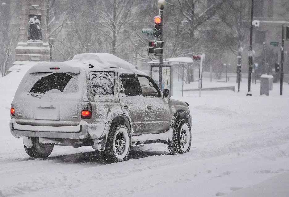
 JEFFERSON CO., Pa. (EYT) – A Wind Advisory and a Winter Weather Advisory have been issued for Jefferson County and surrounding areas.
WIND ADVISORY
The National Weather Service of Pittsburgh issued the following Urgent Weather Message at 2:30 p.m. on Sunday, February 12, 2017:
URGENT – WEATHER MESSAGE
National Weather Service Pittsburgh PA
230 PM EST Sun Feb 12 2017
Carroll-Columbiana-Jefferson-Mercer-Venango-Forest-Lawrence-Butler-Clarion-Beaver Allegheny-Armstrong-Indiana-Washington-Greene-Westmoreland-Fayette-Hancock-Brooke-Monongalia-
Including the cities of Carrollton, Malvern, East Liverpool, Salem, Columbiana, Steubenville, Sharon, Hermitage, Grove City, Oil City, Franklin, Tionesta, New Castle, Ellwood City, Butler, Clarion, Punxsutawney, Brookville, Aliquippa, Beaver Falls, Ambridge, Monaca, Pittsburgh Metro Area, Kittanning, Ford City, Indiana, Washington, Canonsburg, Waynesburg, Murrysville, Greensburg, New Kensington, Uniontown, Weirton, Follansbee,Wellsburg, and Morgantown
230 PM EST Sun Feb 12 2017
…WIND ADVISORY REMAINS IN EFFECT FROM 6 PM THIS EVENING TO 7 AM EST MONDAY…
* WIND…West 15 to 30 mph with gusts 45 to 50 mph.
* PERIOD OF STRONGEST WIND…Tonight and early Monday.
* IMPACTS…Wind may blow down limbs…trees…and power lines. Scattered power outages are expected.
PRECAUTIONARY/PREPAREDNESS ACTIONS…
This Wind Advisory means that wind gusts of 45 to 50 mph are expected.
Please report down trees or branches by calling 412-262-1988, posting to the NWS Pittsburgh Facebook page, or using Twitter @NWSPITTSBURGH.
WINTER WEATHER ADVISORY
The National Weather Service of Pittsburgh issued the following Urgent Winter Weather Message at 2:30 p.m. on Sunday, February 12, 2017:
URGENT – WINTER WEATHER MESSAGE
National Weather Service Pittsburgh PA
230 PM EST Sun Feb 12 2017
Mercer-Venango-Forest–Clarion-Jefferson-
Including the cities of Sharon, Hermitage, Grove City, Oil City, Franklin, Tionesta, Clarion, Punxsutawney, and Brookville
230 PM EST Sun Feb 12 2017
…WINTER WEATHER ADVISORY REMAINS IN EFFECT FROM 7 PM THIS EVENING TO 1 PM EST MONDAY…
* SNOW ACCUMULATIONS…2 TO 4 INCHES.
* TIMING…SNOW SHOWERS AND SQUALLS WILL DEVELOP THIS EVENING. THE PERIOD OF HEAVIEST SNOW IS EXPECTED FROM 9 PM TO 3 AM.
* WIND…WEST TO NORTHWEST 15 TO 30 MPH WITH GUSTS OF 45 TO 50 MPH.
* IMPACTS…SNOW WILL COVER ROADS. BLOWING SNOW WILL HINDER CLEARANCE EFFORTS AND MAY REDUCE VISIBILITY TO NEAR ZERO AT TIMES.
PRECAUTIONARY/PREPAREDNESS ACTIONS…
THIS WINTER WEATHER ADVISORY MEANS SNOW AND BLOWING SNOW WILL CAUSE TRAVEL DIFFICULTIES.
Please report snowfall by calling 412-262-1988, posting to the NWS Pittsburgh Facebook page, or using Twitter @NWSPITTSBURGH.
Stay with exploreJeffersonPA.com for updates on hazardous weather updates.
Copyright © 2024 EYT Media Group, Inc. All rights reserved. Any copying, redistribution or retransmission of the contents of this service without the express written consent of EYT Media Group, Inc. is expressly prohibited.


